IMD Forecast Predicts Active Thunderstorms, Heavy Rainfall and Rising Heat Across India Till May 20
The India Meteorological Department (IMD) has forecast an active weather pattern across several parts of the country over the next two weeks, with thunderstorms, heavy rainfall, gusty winds, hailstorms and isolated heatwave conditions expected between May 7 and May 20, 2026. According to the latest extended range weather outlook issued by IMD, rainfall activity is likely to remain above normal over eastern, northeastern and southern parts of India, while heatwave conditions may gradually intensify over parts of northwest and central India during the second half of May.
The weather office said that widespread thunderstorm activity during the past week brought significant relief from intense heatwave conditions across North India. Heatwave conditions, which had affected several northern states in late April, largely subsided due to large-scale rainfall and thunderstorm activity. However, isolated heatwave conditions were still recorded over East Uttar Pradesh and Vidarbha on April 30.
During the week ending May 6, heavy to very heavy rainfall was recorded at isolated locations in Kerala and Mahe, Sub-Himalayan West Bengal and Sikkim, and parts of West Uttar Pradesh. Several states including Tamil Nadu, Karnataka, Odisha, Bihar, Assam, Meghalaya, Uttarakhand, Jharkhand, Andhra Pradesh, Rajasthan and the Andaman and Nicobar Islands also witnessed episodes of heavy rainfall.
Hailstorms were reported from many parts of the country, including Uttarakhand, Uttar Pradesh, Telangana, Bihar, Jharkhand, Himachal Pradesh, Haryana, Madhya Pradesh, Rajasthan, Maharashtra and Delhi. Thunderstorms accompanied by gusty winds and lightning also affected several regions across north, central, eastern and northeastern India during the week.
The IMD noted that weekly average maximum temperatures remained below normal by 3 to 5 degrees Celsius over many parts of north, northwest, east and northeast India due to the widespread storm activity. Minimum temperatures were also below normal over several northern and eastern regions.
The highest maximum temperature recorded over the plains during the week was 45.3 degrees Celsius at Adilabad in Telangana on May 3, while the lowest minimum temperature was recorded at Haflong in Assam at 14.5 degrees Celsius on May 3.
According to IMD data, India received significantly above-normal rainfall during the week ending May 6. The country as a whole recorded 79 percent more rainfall than the long period average. Central India registered the highest surplus at 226 percent above normal rainfall, followed by Northwest India at 161 percent and East and Northeast India at 48 percent above normal. South Peninsular India also received 26 percent above-normal rainfall during the week.
However, the cumulative rainfall for the pre-monsoon season from March 1 to May 6 remained mixed across regions. While Central India recorded 43 percent above-normal seasonal rainfall and East and Northeast India received 17 percent above normal rainfall, South Peninsular India remained deficient with rainfall 17 percent below normal.
The IMD also highlighted large-scale global weather patterns influencing the Indian climate. ENSO-neutral conditions over the equatorial Pacific are gradually evolving toward El Niño conditions. Climate models suggest that El Niño may develop during the southwest monsoon season this year. At the same time, neutral Indian Ocean Dipole conditions currently prevailing over the Indian Ocean are likely to turn positive toward the latter part of the monsoon season.
The Madden-Julian Oscillation, another important weather system influencing tropical rainfall, is expected to support enhanced convective activity and possible cyclogenesis over the Arabian Sea during the first week of the forecast period and over the Bay of Bengal during both weeks.
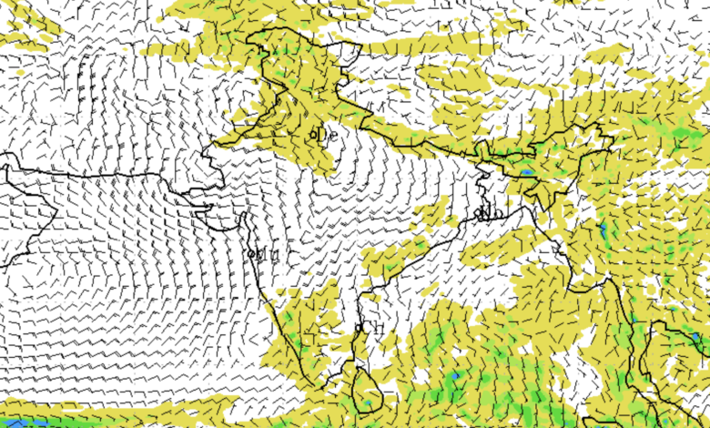
For the period between May 7 and May 13, the IMD has forecast widespread thunderstorm activity and rainfall over several regions of the country. Multiple upper air cyclonic circulations and trough systems are currently active over the Arabian Sea, Madhya Pradesh, Odisha, Bihar and Assam, creating favourable conditions for rain-bearing systems.
Northwest India is expected to witness scattered rainfall, thunderstorms and gusty winds over Uttarakhand, Punjab, Haryana, Delhi, Uttar Pradesh and Rajasthan during the coming days. Another fresh western disturbance is likely to affect the western Himalayan region from May 10 onward, bringing a fresh wet spell with rain, snowfall and thunderstorms over Jammu and Kashmir, Himachal Pradesh and Uttarakhand.
In Northeast India, states including Assam, Meghalaya, Arunachal Pradesh, Nagaland, Manipur, Mizoram and Tripura are likely to receive scattered to widespread rainfall accompanied by thunderstorms and gusty winds. Heavy rainfall is expected at isolated places in Arunachal Pradesh, Assam and Meghalaya during May 12 and 13.
Eastern India, including Bihar, Jharkhand, Odisha and West Bengal, is also likely to witness thunderstorms, lightning and gusty winds. IMD has warned of thundersquall activity with wind speeds reaching up to 70 kilometres per hour over parts of Gangetic West Bengal and Jharkhand around May 9 and 10.
Southern India is expected to remain under active thunderstorm conditions during the next several days. Kerala, Tamil Nadu, Karnataka, Telangana, Andhra Pradesh and Lakshadweep are likely to witness frequent rainfall accompanied by lightning and gusty winds. Heavy rainfall is also expected over Kerala, Tamil Nadu and South Interior Karnataka.
The IMD has indicated that southwest monsoon onset may begin over parts of the south Bay of Bengal, Andaman Sea and Andaman and Nicobar Islands toward the end of the second forecast week around May 20.
Temperature forecasts suggest a gradual rise in temperatures over northwest and central India during the coming days. Maximum temperatures are likely to increase by 3 to 4 degrees Celsius over Northwest India till May 10 and by 2 to 4 degrees Celsius over Central India afterward.
Heatwave conditions are likely to return in isolated pockets of Gujarat and West Rajasthan between May 9 and May 13. During the second week, there is also a low probability of heatwave conditions over Rajasthan, Gujarat, Vidarbha, Madhya Pradesh and Uttar Pradesh.
The IMD has advised people to remain alert during thunderstorms and hailstorms, avoid sheltering under trees, stay indoors during severe weather conditions and unplug electrical appliances during lightning activity. Farmers have been advised to ensure proper drainage in agricultural fields, protect harvested crops with tarpaulin sheets and provide support to horticulture and vegetable crops against strong winds.
Livestock owners have also been advised to keep animals indoors during hailstorms and heavy rainfall and ensure safe storage of fodder and feed. Fisheries departments have been advised to maintain proper drainage systems around ponds to prevent fish loss during heavy rain events.
The weather department said thunderstorm activity is likely to continue over eastern, northeastern and southern India during many days of the forecast period, while rainfall over these regions is expected to remain above normal through mid-May.