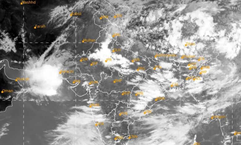
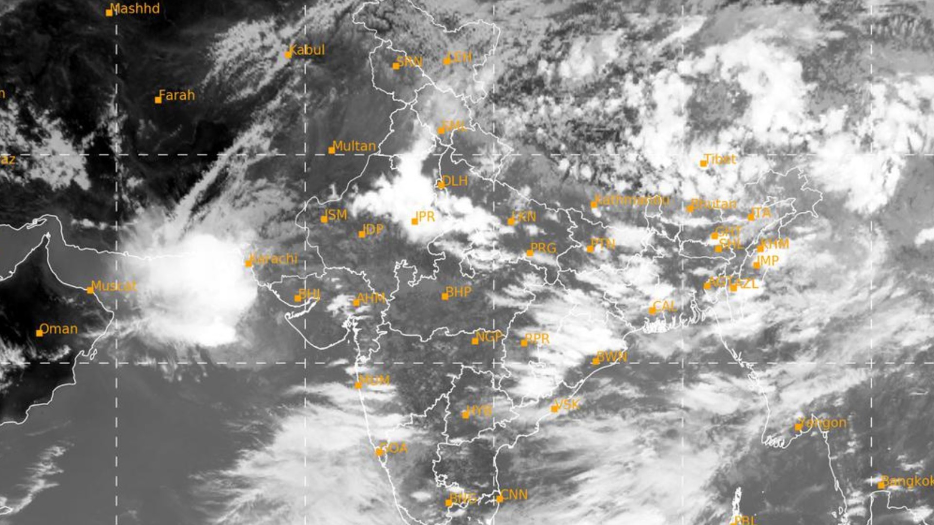
Intense rainfall spell over northern parts of India during 9th to 12th July, 2020

o The western end of monsoon trough lies to the south of its normal position and its eastern end lies near to its normal position. It is very likely to shift northwards towards the foothills of Himalayas from 09th July onwards.
o In addition, moist southwesterly/southerly winds from Bay of Bengal at lower tropospheric levels very likely to converge over northeast & adjoining east India from today, the 8th July and southwesterly/southerly winds from Arabian sea very likely to converge over northwest India from 09th July , 2020 onwards.
o Under the influence of above synoptic conditions, fairly widespread to widespread rainfall with isolated heavy to very heavy falls very likely over Western Himalayan Region, northern parts of Punjab & Haryana, Chandigarh, Uttar Pradesh, Bihar, Sub-Himalayan West Bengal & Sikkim and northeastern states during 9th to 12th July 2020. Isolated extremely heavy falls (≥ 20 cm) are also very likely over Uttarakhand on 11th & 12th; over East Uttar Pradesh during 10th to 12th; over Bihar on 10th & 11th; over Sub-Himalayan West Bengal, Sikkim, Assam, Meghalaya and Arunachal Pradesh during 09th to 11th July, 2020.


